Computer Science. Geoanalytics (F3/E4)
Geoanalytics
The future of IT at the intersection of Computer Science and Earth Sciences. Joint program of the AI Systems and Higher Geodesy departments.
Admission 2026
Minimum NMT scores by subject
- check_circleMathematics — 140
- check_circleUkrainian language, History of Ukraine, Foreign language, Biology, Physics, Chemistry, Ukrainian literature, Geography — 100
Applications are admitted to selection upon reaching the minimum competitive score.
Subject Coefficients
Ukr. lang: 0.3 | Math: 0.5 | History: 0.2
Optional subjects:
Foreign lang: 0.3 | Biology: 0.2 | Physics: 0.4 | Chemistry: 0.3 | Ukr. lit: 0.2 | Geography: 0.2
Required Documents
For minors, the presence of one parent (with passport and Tax ID) is required to sign the contract.
Specialist Profile & Key Competencies
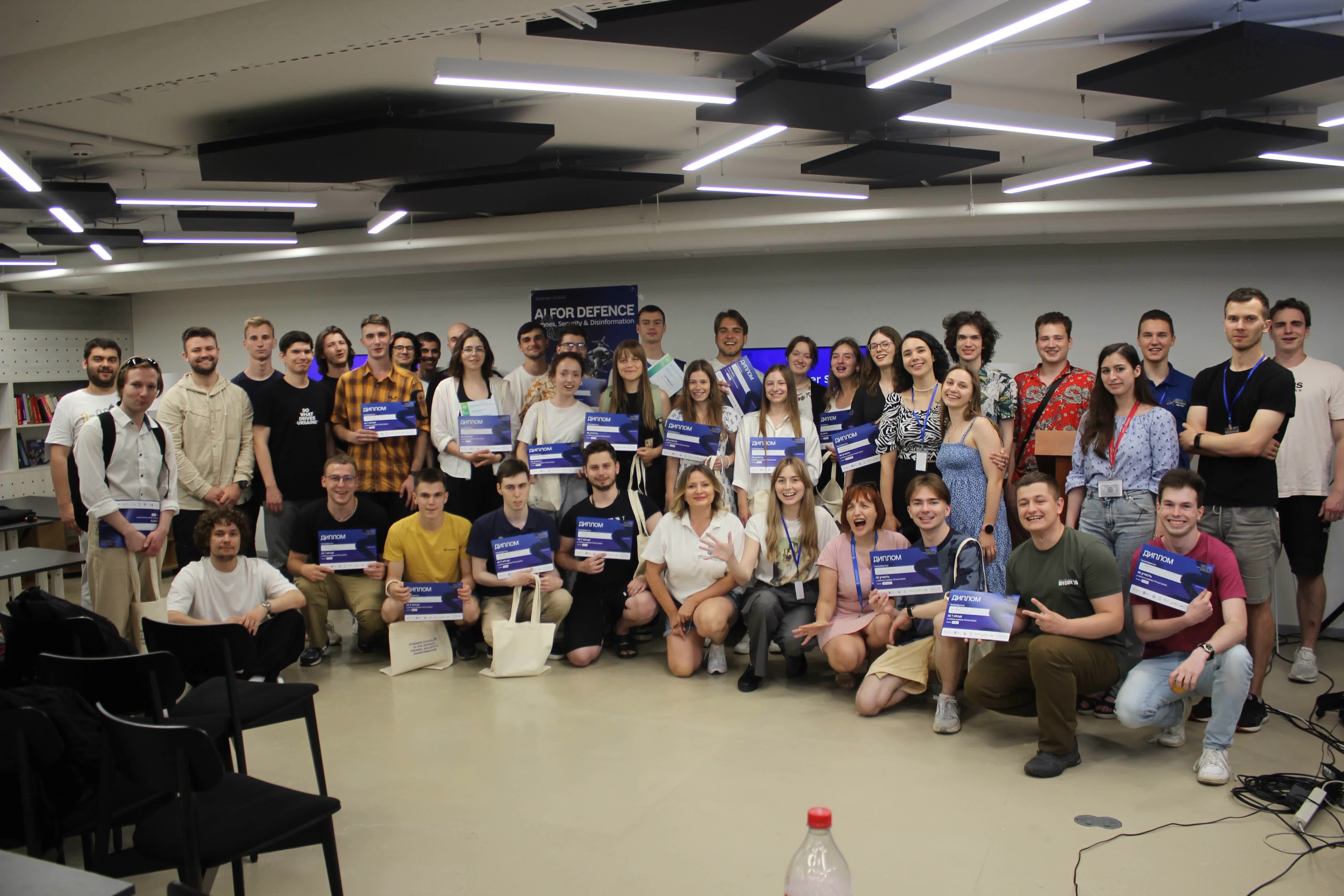
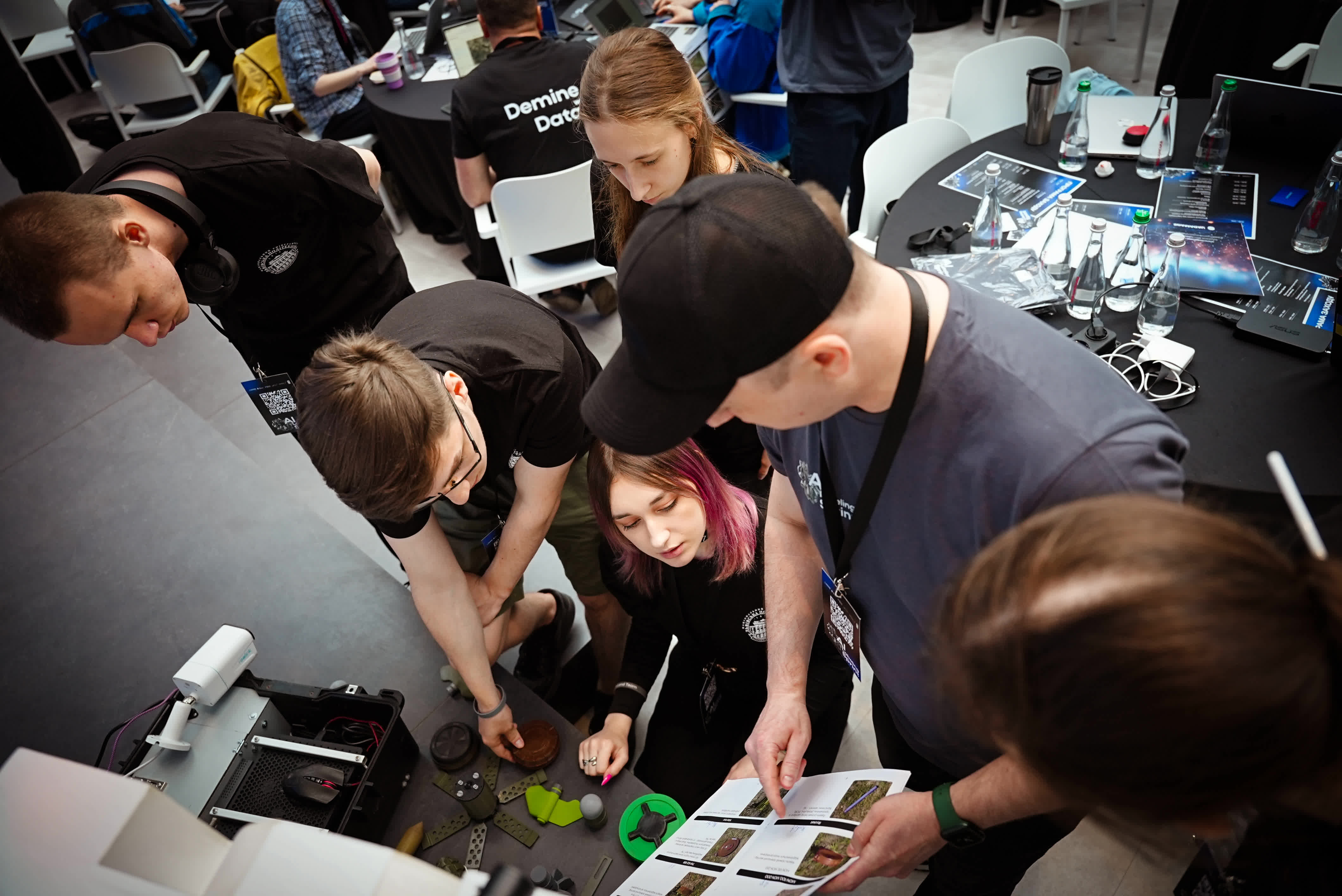
Training unique specialists with practical skills for developing solutions in environmental monitoring, smart infrastructure, and resource management based on two institutes of Lviv Polytechnic.
Key Training Areas
Study Structure
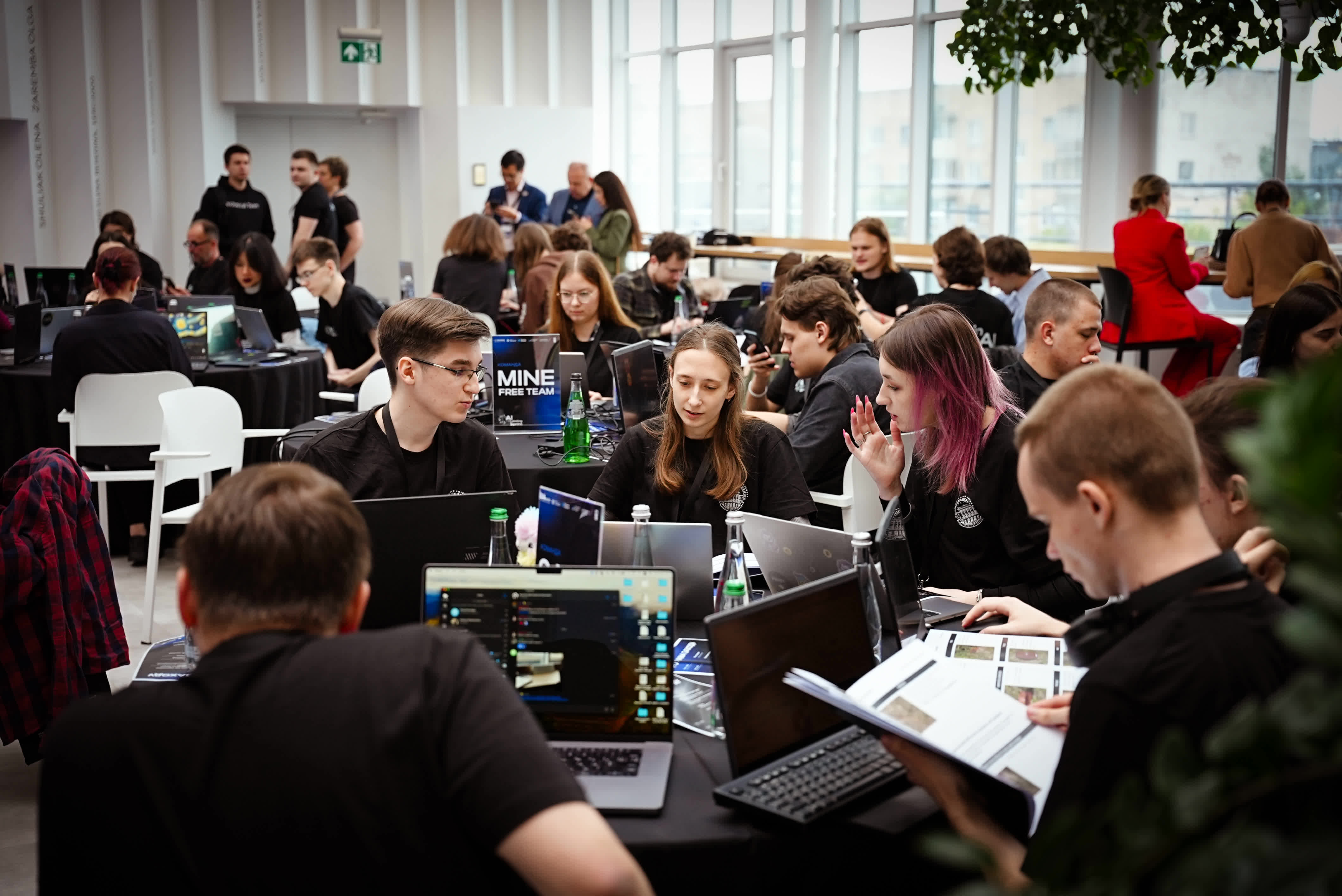
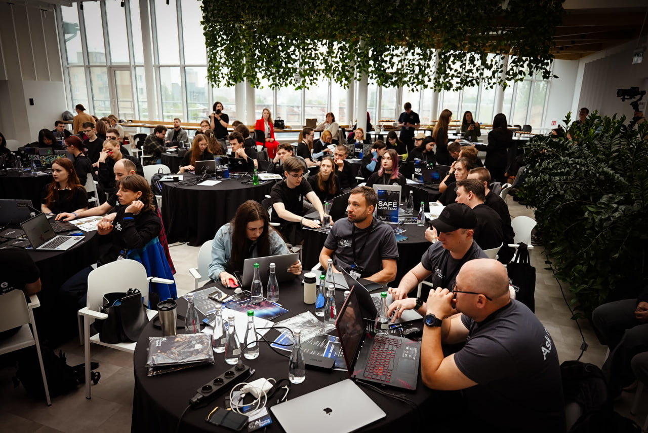
Equal combination of IT and Geo blocks to train interdisciplinary specialists.
Artificial Intelligence
Creating models for image classification, forecasting, and automated satellite data analysis.
Big Data & ML
Analyzing massive geospatial datasets to identify patterns and make decisions.
Geospatial Analysis
Working with GIS technologies and spatial databases for natural process modeling.
Satellite Monitoring
Using SAR technologies and analyzing images from satellites and drones.
Cloud Services
Developing info-system architectures and using analytical data warehouses.
Ecology & Safety
Solving complex tasks in soil erosion monitoring and industrial risk analysis.
MLOps
Full development cycle: from image processing to machine learning model deployment.
Geoanalytics is the integration of modern IT solutions and geospatial analysis for strategic industries.
Geoanalytics allows combining programming skills with a deep understanding of geographic information systems to solve safety and environmental tasks.

Geoanalytics Direction
Earth Sciences
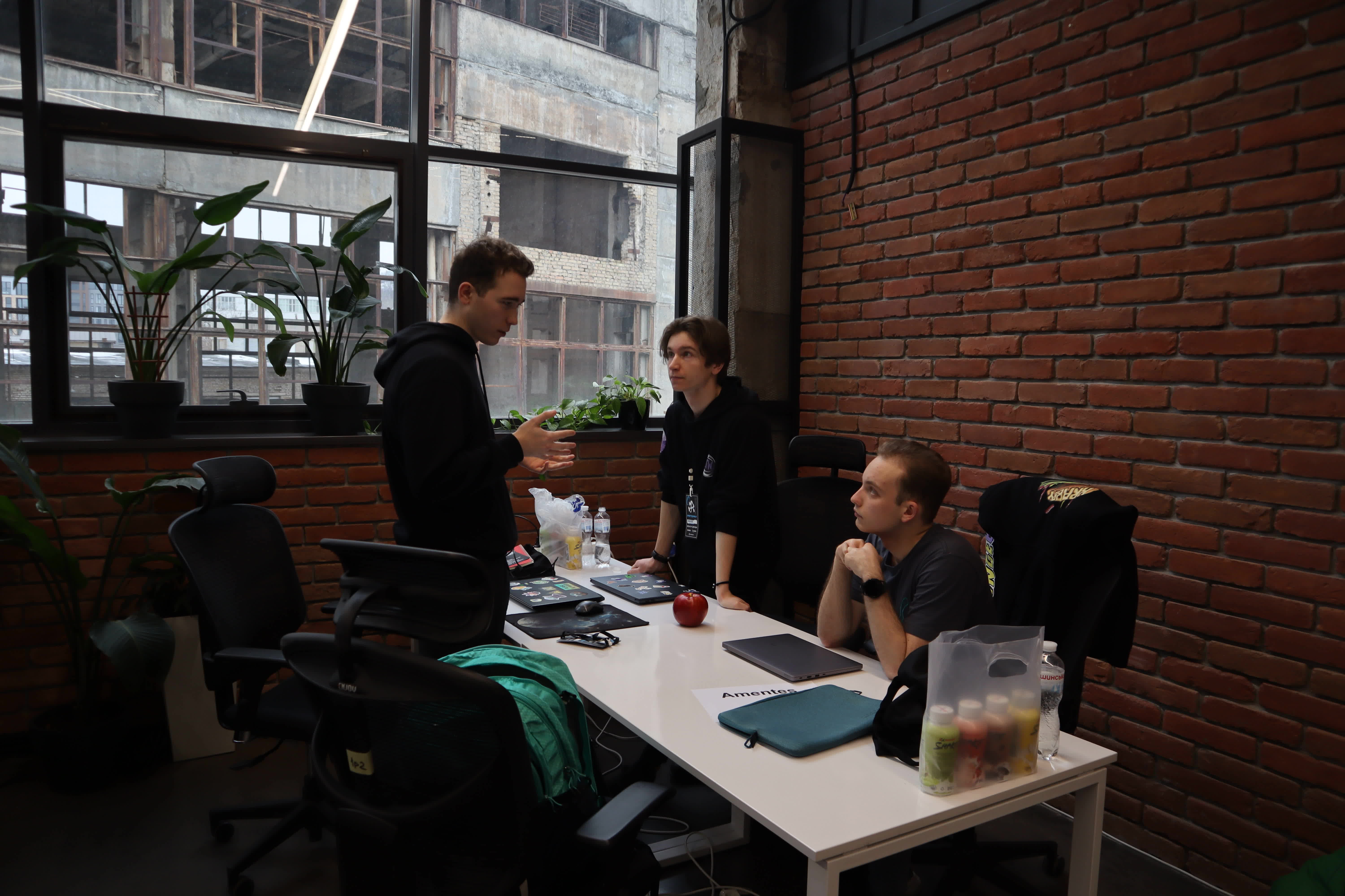
We create specialists capable of automating the analysis of petabytes of data generated daily by satellites, drones, and sensors.

Computer Science Direction
Artificial Intelligence
Career Prospects in Strategic Industries
Graduates are ready to work in sectors shaping the future of technology for the next 5–10 years.
Interdisciplinary Educational Program